Our Changing World: Building a nation-wide model of landslide risk
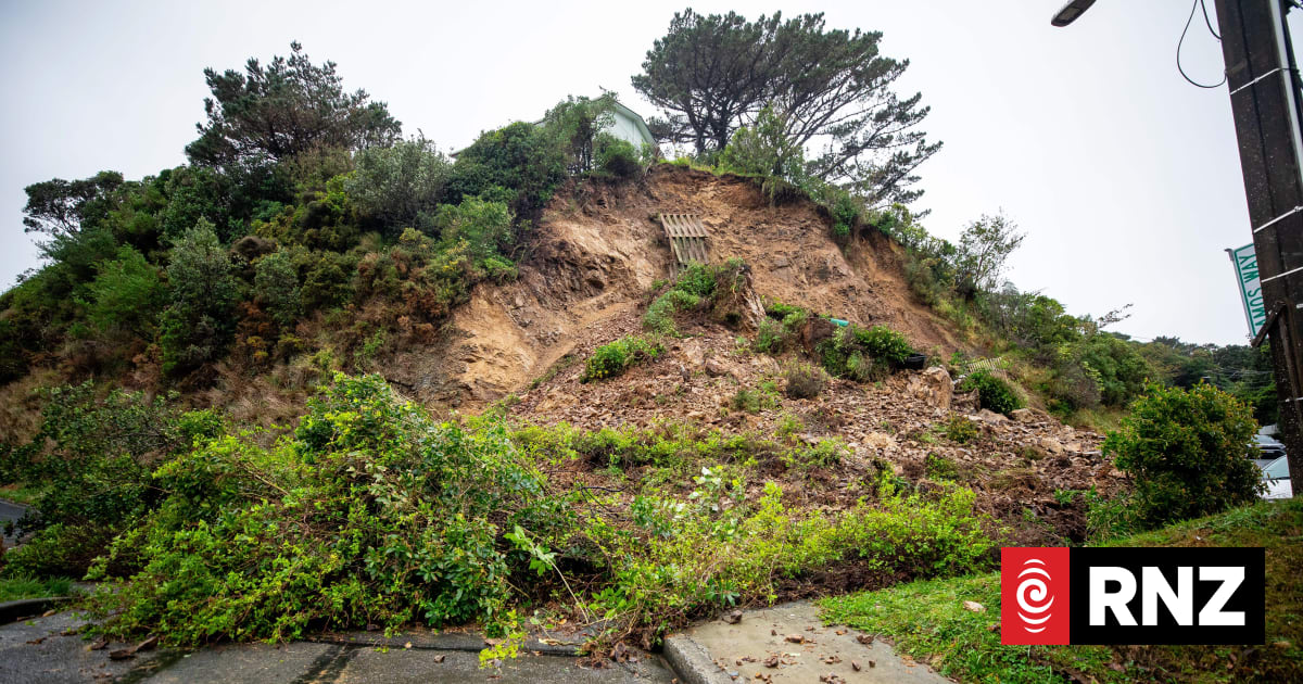
NewsScience and technology7 July 2026, 6:32amOur Changing World: Building a nation-wide model of landslide riskClaire ConcannonCaption:Residents on a Kingston…
RNZ ·
NewsScience and technology7 July 2026, 6:32amOur Changing World: Building a nation-wide model of landslide riskClaire ConcannonCaption:Residents on a Kingston…
RNZ ·
another model that'll just tell us what we already know - hills are steep and rain makes things slide. waste of taxpayer money tbh.
steady on bro, this is exactly how we figure out which bits are safe to build on. better than guessing
mate i saw that slide in Kingston, absolute mess. good luck modelling that with a computer when every hillside is different
yeah nah get stuffed, the road that slipped was 50 years old. models wont help when the whole hill decides to move
actually this is super important for infrastructure planning. if they can predict high-risk zones we could save millions in road repairs. aucks uni did a similar thing a few years back
work in civil eng, gotta say this is way overdue. we're still using paper maps from the 80s in some places. about bloody time we got some decent data
Log in to leave a comment.
my commute goes through the Manawatu Gorge, already had to take a detour cos of slips. whatever helps keep that road open honestly
facts. but that's the thing - they need modern data to update those maps. this is step one
surely we should just stop building on steep hills??? common sense?? nahhh let's make a model instead
lol they still build on flood plains and expect different results. kiwis never learn
ppl in chch know all about land instability. council didn't listen then either 😒
same energy as the port hills development. tragic really